


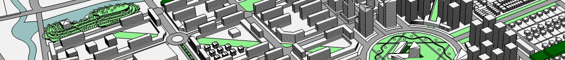
Geographical Information System (GIS)
An analystical and synthesis tool in all three areas; integration of all data formats into a GIS databse system, analysis and solution in a multi-criteria evaluation process towards decision making and presentation of information in an easy to understand form.
In a situation where potentials and constraints are to be balanced, steered in harmony with environment, GIS has enabled the integration of the spatial entities into a problem-solving environment. We use it as a crucial urban planning tool for all type of cities, the most for densely populated cities. Where on one hand it helps to achieve an economic layout of transportation network and landuses, it enables a scientific basis for demarcation of ecological protection zones incorporating a comprehensive set of influencing parameters.